Aerial Inspections
I provide drone-based visual inspections for sites and structures.
Detailed Structure Review
Detailed Structure Review
A focused inspection flight brings hard-to-reach areas into clear view.
A More Personal Way to Understand Site Conditions
I plan the flight around the structure, access points, and specific areas you want reviewed. Carefully captured aerial imagery can show roof surfaces, exterior walls, elevated equipment, drainage features, and other details that are difficult to assess from the ground. The inspection is designed to gather useful visual evidence without unnecessary disruption to the site.
You receive a clear set of images that makes it easier to review visible conditions and discuss appropriate next steps. I keep the process organized and communicate what the flight will cover before taking off, so the resulting imagery stays relevant to your maintenance, construction, or assessment needs.
Ideal For
Roofs and exterior building surfaces
Construction progress reviews
Towers, equipment, and elevated assets
Sites with difficult or limited access
How It Works
Scope The Site: We identify the structure, inspection areas, and visual information you need.
Plan The Flight: I review access, surroundings, and safe flight considerations before the inspection.
Capture The Details: I complete the flight and provide organized imagery for your review.
I See The Bigger Picture
Streets to Skyline
Capture it from above
Bring your vision into view
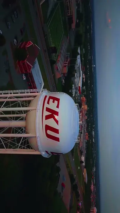
Aerial Event Coverage
I capture weddings, outdoor events, and vehicle moments from the streets to the skyline.
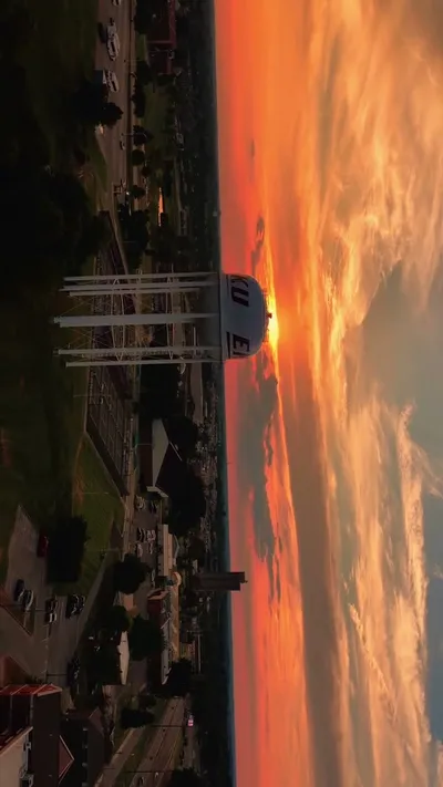
Real Estate Drone Media
I create aerial photos and videos that showcase properties clearly.

Scenic Drone Footage
I film nature, skylines, sunsets, and local landscapes from the air.
Frequently Asked Questions
Let's Plan Your Aerial Project
Get in touch to discuss your aerial photography or video needs.