Real Estate Drone Media
I create aerial photos and videos that showcase properties clearly.
Property Listing Aerial Package
Property Listing Aerial Package
Give your listing a clearer sense of place from above.
A More Personal Way to Present Your Property
This focused aerial package captures the property, its boundaries, exterior features, and surrounding context from carefully selected viewpoints. I plan each flight around the listing's layout and the story you want buyers to understand. The result is clean, useful media that adds perspective without distracting from the property itself.
Aerial photos provide strong still images for listings, brochures, and social media, while video adds movement and helps viewers follow the relationship between the home, land, and neighborhood. I work with attention to composition, lighting, and safe flight conditions so the final media feels polished and natural. The experience is straightforward, with clear communication before and after the shoot.
Ideal For
Residential property listings
Land and acreage marketing
Luxury homes with notable surroundings
Properties with distinctive exterior features
How It Works
Property Review: I confirm the address, goals, and visual priorities for the shoot.
Aerial Capture: I plan safe flight paths and capture photos and video from useful angles.
Media Delivery: I organize and provide the finished aerial assets for your marketing needs.
I See The Bigger Picture
Streets to Skyline
Capture it from above
Bring your vision into view
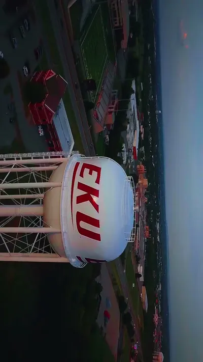
Aerial Event Coverage
I capture weddings, outdoor events, and vehicle moments from the streets to the skyline.
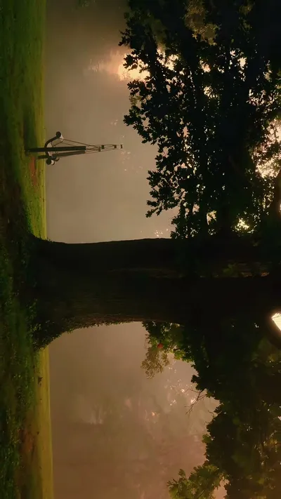
Aerial Inspections
I provide drone-based visual inspections for sites and structures.
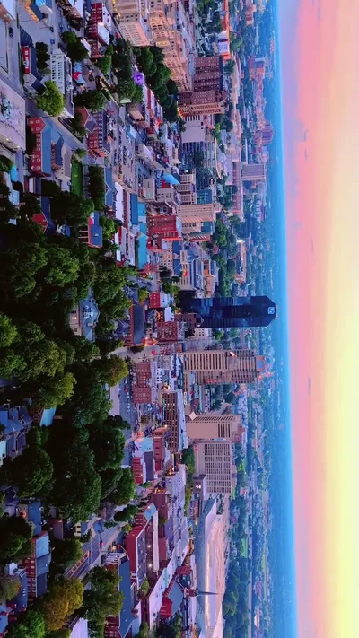
Scenic Drone Footage
I film nature, skylines, sunsets, and local landscapes from the air.
Frequently Asked Questions
Let's Plan Your Aerial Project
Get in touch to discuss your aerial photography or video needs.